Why Nautical Charts Still Matter – Even in the Age of GPS
Or: Why You Shouldn’t Navigate by Screen Alone
Most modern boats are equipped with GPS-based navigation systems – which is why many assume that traditional paper nautical charts are a thing of the past. But that’s a serious mistake. The sea is not like a road, where you always know what’s coming around the corner. Safe navigation depends on combining multiple sources of information – not blind trust in technology.
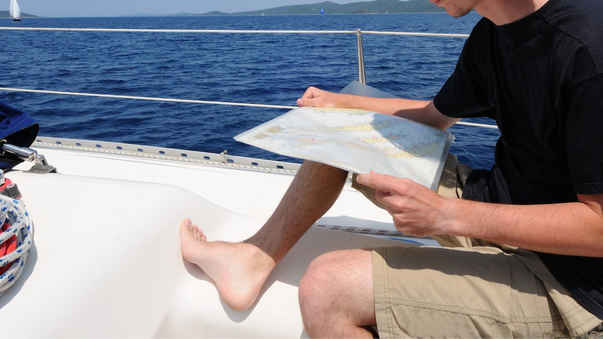
Nautical chart showing Hvar and Brač – with detailed navigation info, ports, mooring fields, and water depth.
Not Every Error Is Your Fault – But the Consequences Are Yours
Even GPS can fail. For instance, if it receives incorrect data or loses signal in a narrow fjord or near a steep cliff. A single malfunction can lead you off course – especially when strong wind or currents are involved. A paper chart is a backup tool that never crashes and is always with you – as long as you know
Why You Should Learn to Use It
- Basic chart knowledge is required to earn a boating license (e.g., ICC category). More on our license courses here.
- Charts provide a clearer understanding of water depth, reefs, buoys, and navigation restrictions.
- Paper maps help you see the full route – not just the small screen your GPS shows.
- In an emergency or technical failure, it might be your only working navigation tool.
Don’t Just Look – Use It
Chart reading isn’t complicated – but it requires practice. At Sidro Nautika, our practical training – including those preparing for the boating license – places strong emphasis on ensuring participants not only understand charts in theory, but can actually use them on the water.
Summary
GPS is a fantastic tool – but it doesn’t replace seamanship, it complements it. A chart is what connects what you know in your head to the reality around you, and helps you make decisions when things go wrong. As the saying goes: "A good captain isn’t good because they always know where they are – but because they always know how to find out.”